A one-stop integrated shop for your geospatial data needs
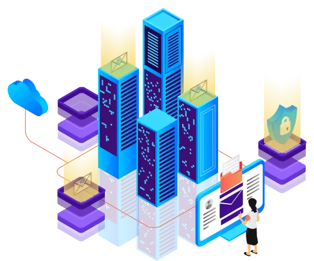
Afric-DataWhereHouse
A clear view, just a click away.
Thanks to our unique mosaic of geospatial data covering the entire African territory at various scales, get an instant overview of the issues that matter to you: natural resources, urban planning, infrastructure development, and more.
Our experts rely on a multitude of reliable and up-to-date sources to feed your analyses with speed and accuracy.
No other platform offers such richness, such data quality and a framework so well adapted to African realities.